
No renders, brochure or site photographs have been released
There is no developer gallery to show you. Embassy Group has published no elevation render, no clubhouse visual, no landscape illustration, no floor plate and no brochure for this scheme. We hold no site photograph of our own, and we do not publish photographs we cannot vouch for. In the same Bengaluru market, Embassy South Reserve helps keep the gallery review tied to design evidence rather than only the most polished render or model-flat image.
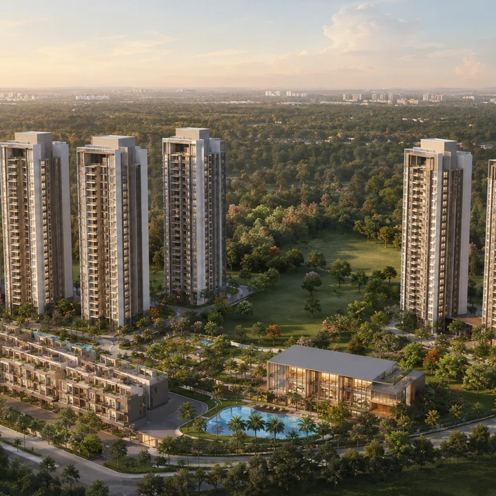
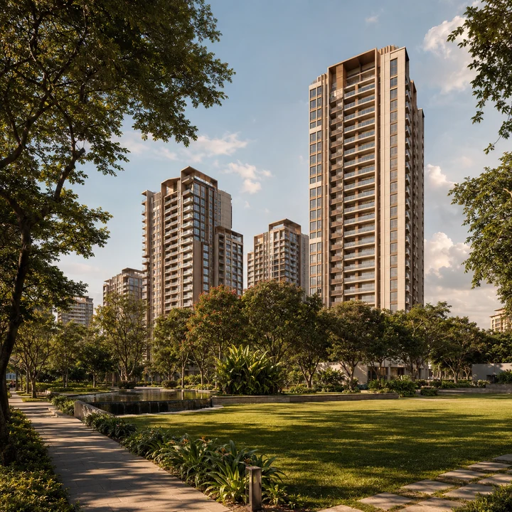
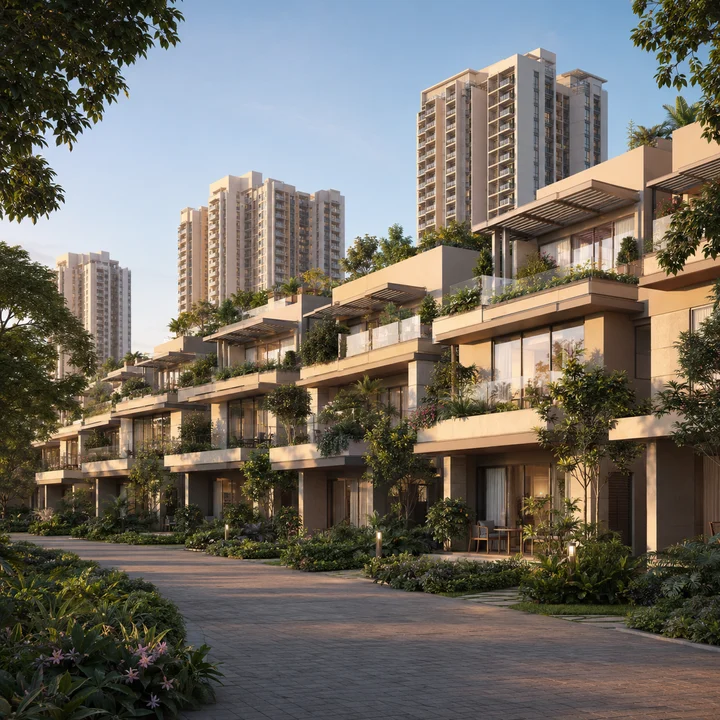
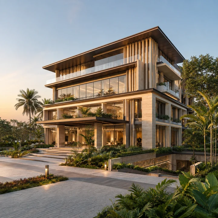
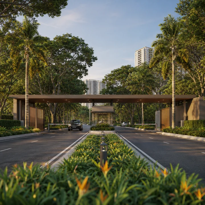
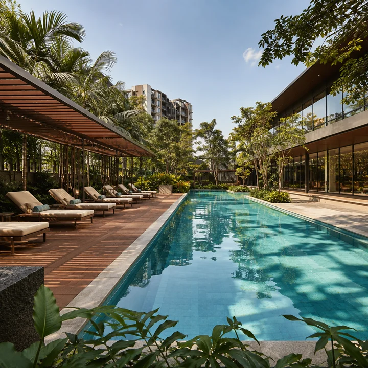
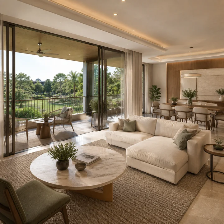
The visuals on this page are our own indicative visualisations and are captioned as such throughout. None of them came from Embassy Group, none is a photograph of the Navarathna Agrahara site, and none is a drawing of this building. We label them because the ordinary practice on property portals is not to: a generic tower render placed under a project's name is how buyers end up carrying a mental picture of a building that nobody has drawn. When the developer releases material, it will appear here, sourced and dated. Until then, the honest answer is that nobody outside Embassy's design team knows what this project will look like.
What the filings say about the Navaratna Agrahara land
What we do have is the regulatory record, and it describes the land rather than the building.
| Field | Filed value |
|---|---|
| Land area | 6.80 ha, that is 16.80 acres |
| Plot area | 68,012.5 sq m |
| Village | Navarathna Agrahara Village, Jala Hobli, Yelahanka Taluk, Bangalore 562 157 |
| Survey numbers | 124(P), 129(P), 131(P), 132(P), 134(P), 136(P), 137(P), 138(P), 139(P), 140(P), 141(P), 142(P), 143(P), 144, 145(P), 146, 147, 148, 149(P), 150(P) |
| Promoter of record | Embassy Developments Limited |
| Current application | environmental clearance, Under Examination, filed 03/08/2026 |
| Earlier application | Standard Terms of Reference granted 04/05/2026 |
On land status, Embassy's own application states verbatim that the site "has been converted from agricultural to non-agricultural i.e residential use as per the Comprehensive Development Plan (CDP) of BIAAPA" — the Bengaluru International Airport Area Planning Authority, which is the plan-sanctioning authority for this stretch. That is a change of land use on the record, not a description of the ground. It says the parcel may lawfully carry residential development, and nothing at all about what stands on it today.
The environmental track is separate and is not finished. Terms of Reference were granted on the earlier of the two filings on 4 May 2026; the current application for environmental clearance was filed on 3 August 2026 and is under examination. Nothing here is environmentally cleared. A project at this stage is being assessed, not built.
One note on the map pin. The coordinate we publish, 13.20404, 77.62470, is the centre of the parcel's filed bounding box, not a surveyed point on the ground and not a site entrance. It is an estimate of medium confidence, good enough to place the parcel on a map and not good enough for anything else.
What the filed building programme implies about massing
The filings do describe the programme, and a programme implies a shape even when no drawing exists. Read carefully, and in general terms only.
| Component | Filed |
|---|---|
| Building 1 | Towers 1 to 5, 838 flats |
| Building 2 | Towers 6 to 8, 466 flats |
| Apartments | 1,304 flats in 8 towers |
| Building 3 | Clubhouse, 2B + G + 3UF |
| Buildings 4 and 5 | 48 villaments, 2B + G + 3UF |
| Total homes | 1,352 |
| Tower configuration | 3B + G + 14UF up to 3B + G + 20UF |
| Built-up area | 262,029.83 sq m |
Reading the filing's own shorthand: the towers sit on three basement levels, and carry a ground floor plus fourteen to twenty upper floors. That is fifteen to twenty-one occupied levels above ground, varying tower by tower. The clubhouse and the two villament buildings are on two basements with a ground floor plus three upper floors — four levels above ground, low-rise by any reading.
So the scheme is not a uniform slab of towers. It is eight tall buildings of varying height, a standalone clubhouse building, and two low-rise blocks holding 48 villaments. 1,304 of the 1,352 homes are apartments; the remaining 48 are villaments, which are a different product. The filings do not break the 1,304 flats down by configuration and do not say which unit types sit in the villament buildings, so we do not guess.
Two derived figures, both estimates, both shown with their working:
- Built-up to plot ratio, about 3.85. 262,029.83 sq m of built-up area divided by 68,012.5 sq m of plot area. This is not the sanctioned FSI: filed built-up area on this kind of application normally includes basement parking and circulation, which FSI calculations exclude. Treat it as a measure of how much construction the parcel is carrying, not as a planning number.
- Density, roughly 80 homes to the acre. 1,352 homes divided by 16.80 acres. That is dense by the standards of this stretch of the airport corridor, which is one reason the clubhouse being a full standalone building rather than a podium level is worth noting.
Beyond that, we will not describe the architecture. Nothing in the record fixes a façade treatment, a materials palette, a landscape scheme or an entrance sequence, and inventing one would be worse than saying nothing.
Images you will find online that belong to a different project
This matters more here than on most projects. Embassy has an established presence on this corridor, and search results for this road are crowded with imagery from a neighbouring Embassy township. If you go looking for pictures, you will find some.
- Renders labelled Embassy Greenshore belong to a separate, K-RERA-registered project at Hegganahalli Village, Kundana Hobli, Devanahalli, in Bengaluru Rural. Different village, different hobli, different taluk, different district.
- Embassy Edge has no K-RERA registration at all.
- Material carrying an Embassy Springs phase name belongs to that township, which is marketed with an address on MSEC Road in this same village. That shared road name is precisely why the two get conflated.
None of it is this project. If an agent shows you a render and the file name or the watermark carries any of those names, you are looking at another development's design.
Render, elevation, sanctioned plan: what each one proves
When material does appear, the useful skill is telling one kind of document from another. They are not equivalent, and only some of them bind anyone.
| Visual | What it actually is | What it proves | What to check |
|---|---|---|---|
| Artist's impression or 3D render | A commissioned illustration, usually made before drawings are final | Design intent, and nothing more | Whether tower count and floor count match the filed programme |
| Elevation drawing | A scaled orthographic drawing of a façade, from the architect's set | The dimensioned shape of the building as drawn | Floor count and level heights against the filed configuration |
| Sanctioned plan set | Drawings stamped by the plan-sanctioning authority | What has actually been permitted | The stamp, the date, and the sanction reference |
| Approved layout or master plan | Block positions, setbacks and open area as sanctioned | Where the buildings sit on the parcel | That the survey numbers match those on the filing |
| Show unit or sample flat | A built mock-up | The finish level being offered | Whether that specification is written into the agreement |
| Progress photographs | Dated site photography | Where construction has actually reached | The date on the image, and who took it |
The practical rule: a render is marketing, an elevation is design, and a stamped plan is permission. Ask which one you are being shown, and ask for the third.
The visual material to expect when Embassy Sadahalli launches
In the ordinary sequence, the environmental clearance decision and the plan sanction come before registration, and registration comes before any lawful marketing. That means the first genuinely load-bearing images for this project are likely to be regulatory documents rather than brochure art: the sanctioned plan set, and whatever drawings are uploaded when the project is registered. A registration page maintained by the authority is a document source in its own right, and it is worth reading before the brochure.
Expect the brochure and the render pack to arrive alongside or after that. When they do, the questions above are the ones to put to them. If a floor plate is offered, check whether it carries a dimension and a carpet area, or only a room layout. If a clubhouse visual appears, check it against the filed building — a clubhouse on two basements with four levels above ground is a substantial structure, and a render showing something smaller or larger is a render that has moved on from the filing.
The setting, in routed road kilometres
We can describe where the parcel sits, because road distances are measurable. These are road distance from the published coordinate, not straight-line figures.
| Destination | By road |
|---|---|
| M S Engineering College, the road the address is named for | 0.90 km |
| Navrathna Agrahara Lake | 0.99 km |
| Embassy Academy | 1.62 km |
| VEDIC | 2.87 km |
| Royal Lotus View Resort | 3.37 km |
| Prestige Tech Cloud | 4.26 km |
| Kempegowda International Airport | 11.67 km |
That is a village-edge setting on the North Bengaluru airport corridor: an engineering college and a lake within a kilometre by road, a school inside two, and the airport a shade under twelve. It is not a description of the view from any particular floor, and no filed document supports one.
Where this leaves a buyer today
Embassy Sadahalli is not registered with the Karnataka Real Estate Regulatory Authority. There is no registration and no pending application on the record. Section 3 of the Real Estate (Regulation and Development) Act 2016 bars a project in a registrable class from being advertised, marketed, booked or sold until registration is granted, and that bar covers brochures and renders as much as it covers price lists. This site is an information and enquiry resource for a scheme at the approvals stage. It is not a booking channel, and no image on it is an offer.
A last standing caution, which applies to this project and to every other. An artist's impression is not contractual. Renders routinely show landscaping at maturity, tree canopies that do not exist, façade finishes chosen before the budget is fixed, and skies that flatter the orientation. Nothing in a render binds a developer. What binds a developer is the sanctioned plan, the registered particulars and the agreement to sell. When the images for this project arrive, read them for the intent, and read the drawings for the fact.
Embassy Sadahalli Gallery FAQs
What is the exact address?
MS Engineering College Road, Navarathna Agrahara, Jala Hobli, Yelahanka Taluk, Bengaluru 562157. That line follows the signed certificate and the application form, which give the village as Navarathna Agrahara, the hobli as Jala, the taluk as Yelahanka and the postal address as "Bangalore – 562 157". The road the project fronts is MS Engineering College Road, usually shortened to MSEC Road, and the college itself is the nearest landmark of any size. It is fair and useful to describe the site as sitting on the North Bengaluru airport corridor, because that is how a buyer thinks about the geography. One further address token appears in the material circulating on this project; it does not appear in any public gazetteer or map source, so it does not appear on this site.
What are the coordinates, and how precise are they?
We publish 13.20404, 77.62470, and we label it an estimate. It is the centre of the bounding box of the parcel boundary filed with the application, whose extents run from latitude 13.20228 to 13.20579 and longitude 77.62328 to 77.62611. The extents are taken from the filing; the centre point is our own arithmetic on them, which is why we call it inferred and hold it to five decimal places rather than pretending to survey precision. It is not a surveyed corner, not a gate location and not a sales-office pin. A latitude and longitude circulating in marketing material for this project sits roughly 620 m away from the centre of that filed box, and we have discarded it.
How far is Kempegowda International Airport, and how do I get onto NH-44?
The airport is 11.67 km by road from the published coordinate. A much shorter figure is widely repeated in marketing material for this project, and it is refuted — the number quoted there is too low even to work as a straight-line measure, let alone as a road distance, so we do not carry it. On the highway, the nearest access is the Sadahalli Gate interchange on NH-44, about 3.4 km by road. We publish no single drive-time figure for either. Free-flowing and peak-hour runs on this corridor differ enough that one minute count would mislead you in one direction or the other, depending entirely on when you happened to read it. Kilometres are honest. A lone minute count is not.
What is the nearest railway station with real passenger service?
Yelahanka Junction, 15.89 km by road. That is the nearest full junction with meaningful service, and it is a genuine 16 kilometres away. Two closer entries in our table are halts rather than stations: Kempegowda International Airport Halt at 10.31 km and Betta Halasuru at 6.92 km. A halt on a suburban line is not the same proposition as a junction — service frequency, destinations served and platform facilities are all different, and a halt can go long stretches with very few trains. We flag this because "railway station at 6.92 km" reads very differently from "suburban halt at 6.92 km, nearest junction 15.89 km", and only the second is a fair description of this location.
What happens next in the approvals process?
The environmental clearance application filed on 03/08/2026 is under examination. In the normal course, the state environmental authority appraises the application against the Terms of Reference granted on 04/05/2026, and the state environmental authority then takes the clearance decision — which may be a grant, a grant with conditions, a request for further information, or a refusal. Separately, the promoter would need sanctioned building plans and a K-RERA registration before the project can lawfully be advertised or sold. We do not predict the timing of any of these, because appraisal timelines vary widely and a guess dressed as a schedule would be exactly the kind of claim this page exists to avoid.